Al-Bab
Al-Bab الباب Bab Bzaʻa | |
|---|---|
Toun | |
| Coordinates: 36°22′21″N 37°31′4″E / 36.37250°N 37.51778°E | |
| Kintra | |
| Govrenorate | Aleppo Govrenorate |
| Destrict | Al Bab Destrict |
| Nahiyah | Al-Bab |
| Elevation | 471 m (1,545 ft) |
| Population (2004) | |
| • Total | 63,069 |
| Time zone | UTC+2 (EET) |
| • Summer (DST) | +3 |
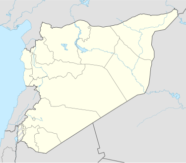
Al-Bāb (Arabic: الباب) is a Sirian ceety admeenistratively belangin tae the Aleppo Govrenorate. Al Bab is locatit northeast o Aleppo an haes an aurie o 30 km². Al-Bab haes an altitude o 471 meters. It haes a population o 144,705 as o 2007, makkin it the 8t lairgest ceety per geographical entity in Sirie. The majority o the ceety's population are Sunni Muslims.
Name
[eedit | eedit soorce]Al-Bāb in Arabic means the door. Accordin tae Arab geographer Yaqut al-Hamawi in 1226, the name is a shortenin o Bāb Bizāʻah (the gate tae Bizāʻah). Bizāʻah (an aa Buzāʻah an Bzāʻā) is a toun locatit aboot 10 km east o Al-Bāb.
History
[eedit | eedit soorce]Al-Bāb wis conquered bi the Arab airmy o the Rashidun Caliphate unner caliph Umar ibn al-Khattab. It received its name, meanin "the Gate", durin Islamic rule as it served as "the gate" atween Aleppo an the adjacent toun o Buza'ah. The tomb an shrine o Aqil ibn Abi Talib (the brither o Ali) wis locatit in al-Bāb, an till its rule bi the Ayyubids in the 13t century, the toun wis populatit maistly bi Shias o the Ismaili sect.[1]
Accordin tae Yaqut al-Hamawi in 1226, it wis a sma toun in the destrict o Aleppo. In the toun wur mercats filled wi a type o cotton product cried kirbas which wur exportit tae Damascus an Egyp. Abu al-Fida writes that al-Bab wis a sma toun wi a mercat, a bath, pleasant gardens, an a mosque (the Great Mosque o al-Bab).[1]
References
[eedit | eedit soorce]Coordinates: 36°22′21″N 37°31′04″E / 36.37250°N 37.51778°E

