Buggingen
Appearance
Buggingen | |
|---|---|
| Coordinates: 47°50′53″N 7°38′13″E / 47.84806°N 7.63694°E | |
| Country | Germany |
| State | Baden-Württemberg |
| Admin. region | Freiburg |
| District | Breisgau-Hochschwarzwald |
| Subdivisions | 2 |
| Government | |
| • Mayor (2022–30) | Johannes Ackermann[1] |
| Area | |
| • Total | 15.32 km2 (5.92 sq mi) |
| Elevation | 239 m (784 ft) |
| Population (2022-12-31)[2] | |
| • Total | 4,448 |
| • Density | 290/km2 (750/sq mi) |
| Time zone | UTC+01:00 (CET) |
| • Summer (DST) | UTC+02:00 (CEST) |
| Postal codes | 79426 |
| Dialling codes | 07631 Buggingen, 07634 Seefelden |
| Vehicle registration | FR |
| Website | buggingen.de |
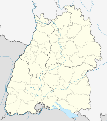
Buggingen is a municipality in Breisgau-Hochschwarzwald in Baden-Württemberg in southern Germany. It is between the Rhine Valley and the Black Forest on the northern edge of Markgräflerland.
References
[change | change source]- ↑ Bürgermeisterwahl Buggingen 2022, Staatsanzeiger.
- ↑ "Bevölkerung nach Nationalität und Geschlecht am 31. Dezember 2022" [Population by nationality and sex as of December 31, 2022] (CSV) (in German). Statistisches Landesamt Baden-Württemberg. June 2023.
Other websites
[change | change source]Wikimedia Commons has media related to Buggingen.
- Official website (in German)


