Mets Shen (Armenian: Մեծ Շեն) or Boyuk Galadarasi (Azerbaijani: Böyük Qaladərəsi) is a village located in the Shusha District of Azerbaijan, in the disputed region of Nagorno-Karabakh. Until 2023 it was controlled by the breakaway Republic of Artsakh. The village had an ethnic Armenian-majority population[2] until the exodus of the Armenian population of Nagorno-Karabakh following the 2023 Azerbaijani offensive in Nagorno-Karabakh.[3]
Mets Shen / Boyuk Galadarasi
Մեծ Շեն / Böyük Qaladərəsi | |
|---|---|
 | |
 Mets Shen / Boyuk Galadarasi | |
| Coordinates: 39°39′30″N 46°36′07″E / 39.65833°N 46.60194°E | |
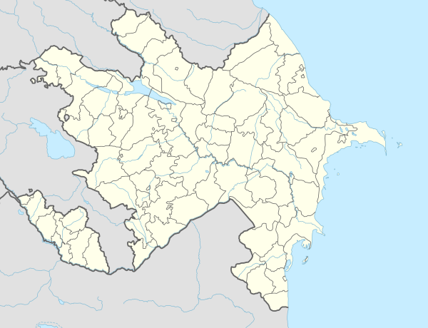
| Country | |
| • District | Shusha |
| Population (2015)[1] | |
| • Total | 116 |
| Time zone | UTC+4 |
Toponymy
editThe village was known as Metskaladeresi (‹See Tfd›Russian: Мецкаладереси) during the Soviet period.[4]
History
editDuring the Soviet period, the village was a part of the Shusha District of the Nagorno-Karabakh Autonomous Oblast.
Historical heritage sites
editHistorical heritage sites in and around the village include the church of Parin Pizh (Armenian: Պարին Պիժ) built in 1658, and the 19th-century church of Surb Astvatsatsin (Armenian: Սուրբ Աստվածածին, lit. 'Holy Mother of God').[1]
Economy and culture
editThe population is mainly engaged in agriculture and animal husbandry. As of 2015, the village has a municipal building, a house of culture, a secondary school, and a medical centre.[1]
Demographics
editThe village had 92 inhabitants in 2005,[5] and 116 inhabitants in 2015.[1]
Gallery
edit-
Parin Pizh Church
-
References
edit- ^ a b c d Hakob Ghahramanyan. "Directory of socio-economic characteristics of NKR administrative-territorial units (2015)".
- ^ Андрей Зубов. "Андрей Зубов. Карабах: Мир и Война". drugoivzgliad.com.
- ^ Sauer, Pjotr (2 October 2023). "'It's a ghost town': UN arrives in Nagorno-Karabakh to find ethnic Armenians have fled". The Guardian. ISSN 0261-3077. Retrieved 9 November 2023.
- ^ Landmine Mapper. "Azerbaijan (& Nagorno Karabakh) Topographic Map 1:200,000 Russian Soviet Military". GigaPan.
- ^ "The Results of the 2005 Census of the Nagorno-Karabakh Republic" (PDF). National Statistic Service of the Republic of Artsakh.